
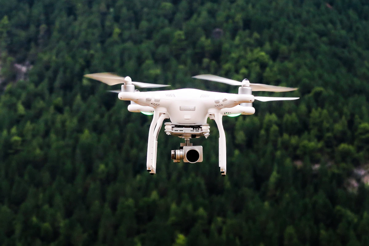
Drone Data Processing
Transform raw drone imagery into precision geospatial deliverables
We build drone data processing pipelines that convert raw UAV imagery into orthomosaics, 3D point clouds, DEMs, and volumetric analyses — used for construction, mining, agriculture, and land surveying.
Get Started Today
What's included in this service
We build drone data processing pipelines that convert raw UAV imagery into orthomosaics, 3D point clouds, DEMs, and volumetric analyses — used for construction, mining, agriculture, and land surveying.
Nirjan International combines development with practical online support. We agree requirements and integrations with your team, review the solution at defined milestones, and prepare documentation and handover for launch. Maintenance, content updates, and ongoing support can be scoped separately to match your operating needs.
Nirjan International / Remote Sensing & GIS
Explore related services
Explore our development and online support services for remote sensing & gis, with a dedicated overview of what each service includes.

GIS Application Development
Custom geospatial applications for complex spatial challenges
View service
Satellite Imagery Analysis
Extract actionable intelligence from satellite data
View service
Interactive Mapping Portal
Engaging map-based interfaces for data exploration and decision-making
View service
Spatial Analytics Platform
Advanced geospatial analytics for data-driven decisions
View service
Land Use Detection System
Automated land use and land cover classification from remote sensing data
View service
Process drone data faster and smarter
Our automated pipelines turn hours of manual processing into minutes — delivering precision outputs at scale.